What Does El Nino Mean For Australian Farmers?
Australia’s agribusiness sector is bracing itself for a tough 2016 thanks to the El Nino weather phenomenon.
What is El Nino?
El Nino and La Nina are weather cycles that are associated with sustained periods of warming or cooling respectively.
El Nino occurs when sea temperatures in the Pacific Ocean become significantly warmer than average, causing a shift in atmospheric circulation.
The warming of ocean temperatures in this area creates more favourable conditions for cloud development and rainfall.
As a result of this, the tropical rainfall that would usually take place in Northern and Central Australia is moved to the central and eastern parts of the Pacific Basin.
How does it affect Australia?
According to the Bureau of Meterology (BOM), El Nino can have several potential affects on the Australian climate. These effects include;
- Reduced rainfall
- Warmer temperatures
- A shift in temperature extremes
- Reduced tropical cyclone numbers, later monsoon onset
- Increased fire danger in Southeast Australia
- Increased frost risk
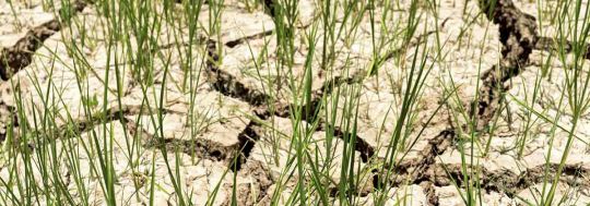
Most major Australian droughts have been associated with associated with El Nino, with rainfall levels in El Nino periods being 28% lower than the long-term average.
Warmer temperatures are caused by decreased cloud cover, particularly in the Spring and Summer months. Higher temperatures exacerbate the effects of lower rainfall by increasing evaporative demand.
Another extremely hazardous effect of El Nino to Australia is the increased fire danger in the Southeast regions, due to decreased rainfall and increased maximum temperatures. Some of Australia’s most severe fire seasons, such as Ash Wednesday (1983) have occurred during El Nino cycles.
More information on El nino can found on the Bureau of Meteorology’s website.
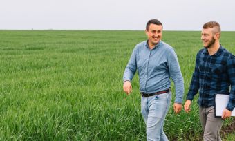
What does it mean for Agribusiness?
While El Nino does not guarantee drought, the warning signs are pointing towards a difficult year for Australian farmers.
The Bureau of Meteorology has warned that Northeast and Southeast farmlands should prepare for drier than average conditions for the rest of the year.
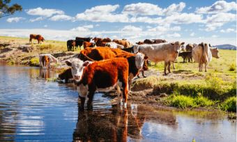
CSIRO senior research scientist Jaci Brown says that the reduced rainfall has led to reduced pasture growth, negatively affecting the meat and milk supply from Australian Cattle.
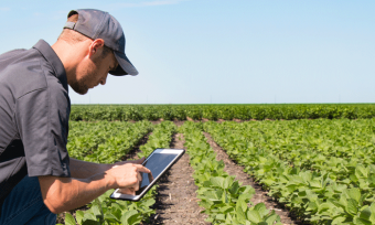
And Rabobank Senior Manager Campbell Keene says that wheat production is down 27% from the previous year. He said the promising start to the harvesting season is now under threat.
“The last two weeks have been very dry across the grain belt and there’s no rain on the horizon in the next fortnight”, Mr Keene said.
Despite all the doom and gloom, Bureau Manager of Climate predictions Dr Andrew Watkins says that nothing is guaranteed with El Nino, and that there is always the possibility of more rain.
“The Indian Ocean is very warm at the moment, that’s promoting lots of moisture coming in from the West and that’s upping the chances of rainfall into Central Australia and into parts of Eastern Australia”.
“Unfortunately El Nino tends to have its biggest impacts in winter particularly in later winter and in spring, so unfortunately we may see a repeat of last year with a bit of a wetter start but a drier and warmer end to the season.”